 Request catalog
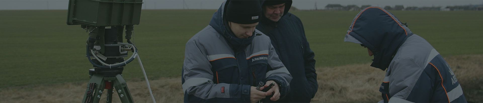
The Klen radar is designed to detect, measure coordinates, track, and identify moving ground and low-altitude air targets (a person, a group of people, motor vehicles and armored vehicles, unmanned and manned aircraft). These tasks are performed at any time of day and year, including in the absence of optical visibility (fog, rain, blizzard, dust, or smoke in the atmosphere).
-
Reconnaissance
Detection, coordinate measurement, identification, and tracking of moving ground and low-altitude air targets: a person, a group of people, motor vehicles and armored vehicles, unmanned and manned aircraft
-
Target Designation
Providing target designation for directing fire assets at a selected target
-
All-Weather Capability
These tasks are performed at any time of day and year, including in the absence of optical visibility (fog, rain, blizzard, dust, or smoke in the atmosphere).
Distinctive Features of the Radar
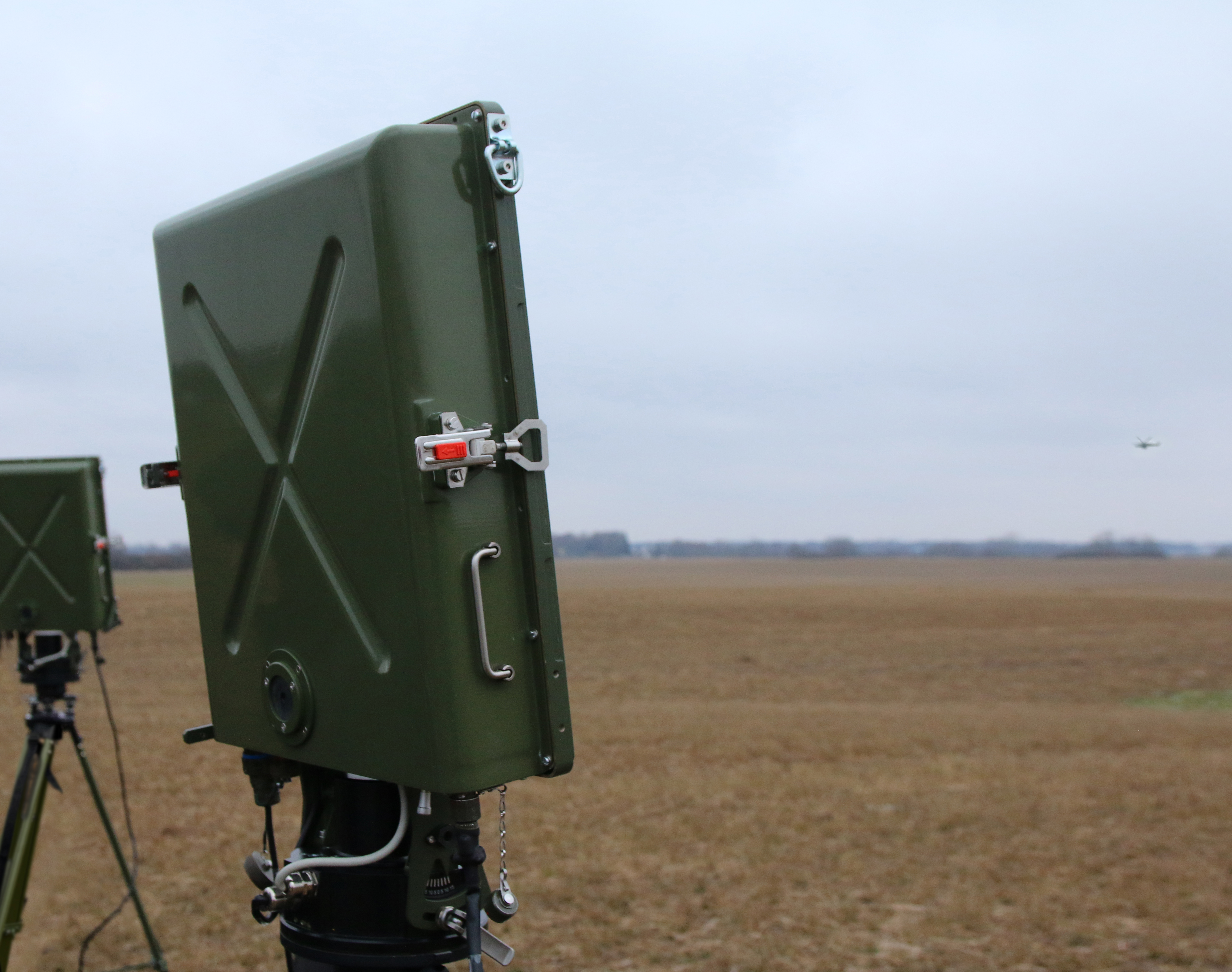
The Klen radar can be used for terrain reconnaissance (including in hard-to-reach areas), as well as for detection, tracking, and identification of objects. The station can also be used to ensure the security of special-purpose facilities (government institutions, military facilities, restricted-access enterprises, power plants, border sections, pipelines, transport interchanges, tunnels, bridges, etc.) by creating a continuous radar barrier field in the area of the protected perimeter.
-
 Provides operation under conditions of intense clutter
-
 Has low detectability due to low transmitted power and effective processing of received signals
-
 Operates in the centimeter wavelength range, which ensures small dimensions of the antenna unit
-
 When using a remote cable, the control panel can be located up to 15 m away from the transceiver
-
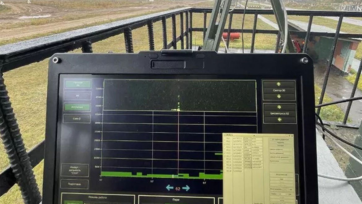
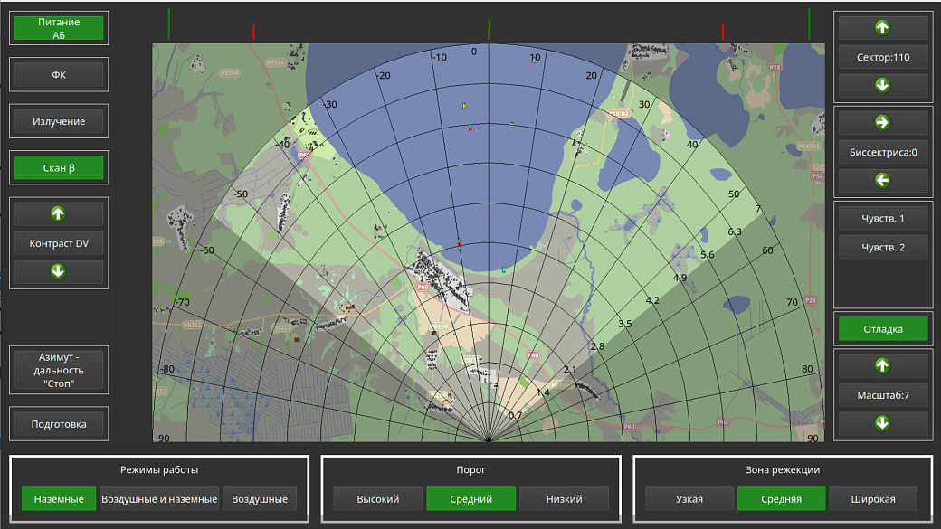
 Provides the ability to overlay radar information on a digital terrain map
Autonomous operation of the station is ensured by a compact power source for 8 hours. Additionally, power supply from 220 V mains or 12 V vehicle systems is provided
Types of Detected Targets:
-
 Low-altitude air targets, including UAVs
-
 Moving ground targets, including people and vehicles
Provided that minor design modifications are made, the radar can be integrated with small arms and installed on combat vehicles and special equipment.
Typical Scenarios for Using the Klen Radar
Advanced circuit design solutions using modern component base and software implementation of digital signal processing algorithms have significantly reduced the power consumption and dimensions of the station while increasing its effectiveness.
Main Technical Specifications
| Detection range interval, m | 80…5000 |
| Range of detected target speeds, m/s | 1…140 |
| Detection range, m: | |
| person (without equipment and weapons) | at least 1000 |
| motorized rifle soldier (with full weapons and equipment) | at least 1200 |
| group of 5 motorized rifle soldiers | at least 1800 |
| truck or tank | at least 3000 |
| helicopter | at least 3700 |
| Field of view: | |
| in elevation, degrees | 30 |
| in azimuth, degrees | 30…150 |
| Root-mean-square error: | |
| in azimuth, degrees |
no more than 0,5 |
| in range, m |
no more than 15 |
|
|
|
| Autonomous operation time, hours | at least 8 |
| Deployment time, minutes | no more than 4 |
| Crew, persons | 2 |
| Total weight (without battery), kg | 25 |
Technical Features of the Klen Radar
The system can be freely integrated with air situation monitoring systems, as well as suppression and destruction systems.
Interface
Target tracking and analysis are performed in a modern graphical interface
-
Topographic maps
Connection of topographic terrain maps for intuitive orientation, including preliminary loading of required terrain squares
-
Operation recording
Storage of data on object movement trajectories allows analysis and identification of patterns to improve station effectiveness
-
Versatility
The software is cross-platform and supports various operating systems and platforms
Portable version
The system can be freely integrated with air situation monitoring systems, as well as suppression and destruction systems by providing data on detected UAVs.
-
Protection of temporary deployment points
-
Operation as part of special forces groups
-
Protection of critical infrastructure facilities
-
Operation in harsh climatic conditions
-
1.5 W
Low transmitted power
-
4 minutes
Deployment time
-
2 persons
Crew
-
25 kg
Low weight
-
8 hours
Autonomous operation time
Stationary Version
Stationary use at civil and critical infrastructure facilities